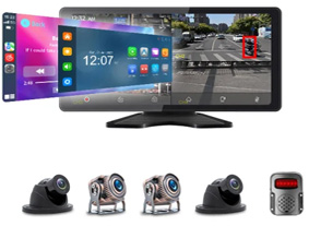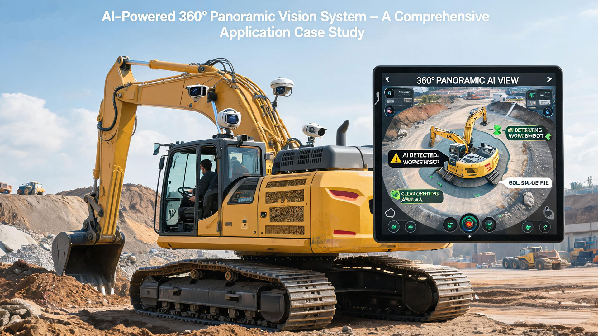
Modern construction, mining, and urban excavation projects demand higher levels of safety, precision, and operational efficiency. Traditional excavator operation heavily relies on the operator’s visual judgment and experience, which leaves significant room for error—especially in blind-spot‑prone environments, unstable terrain, and harsh weather conditions.
This article presents a real‑world application case of an AI‑driven 360° panoramic vision system integrated with LiDAR for excavators. The system addresses critical operational challenges and delivers measurable improvements in safety, accuracy, and productivity.
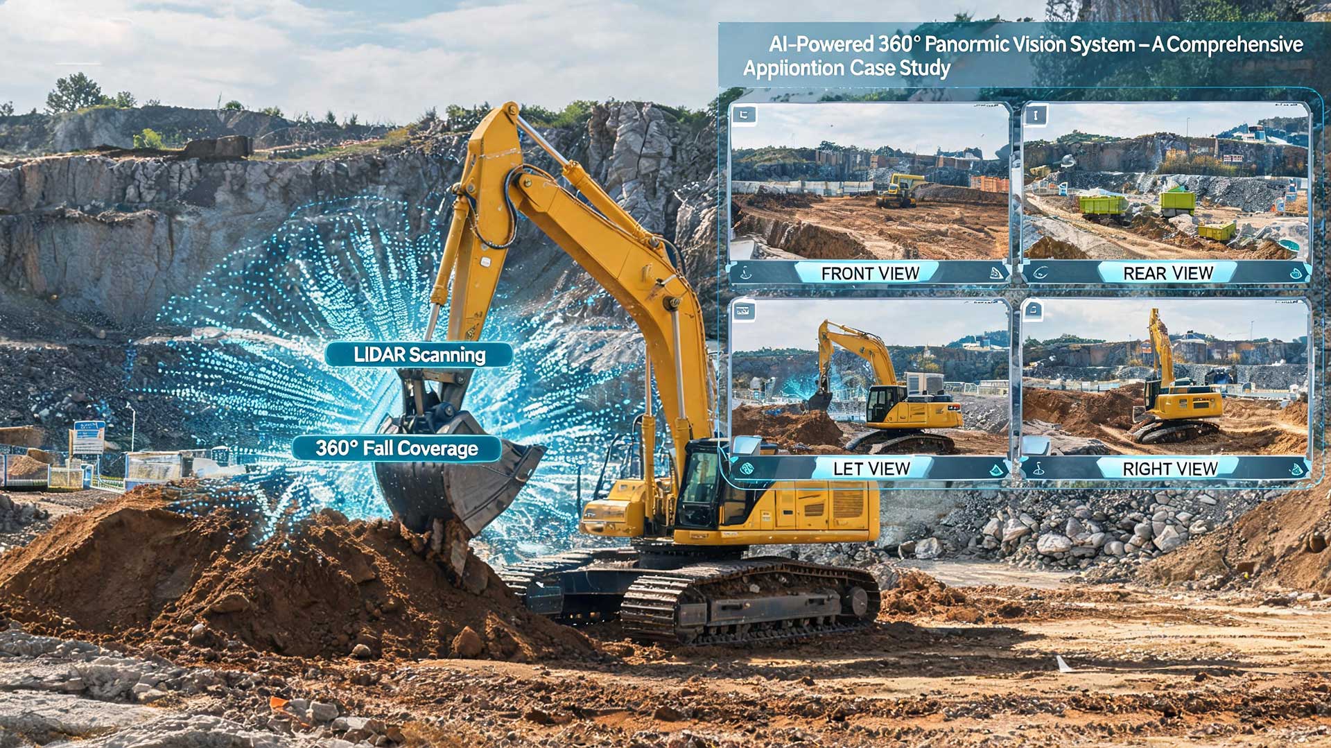
The system aligns high‑precision LiDAR point‑cloud data with real‑time 2D panoramic images through spatiotemporal calibration, enabling full 3D scene reconstruction.
For traditionally hazardous blind areas—such as the excavator’s rotating platform and beneath the bucket—LiDAR builds a centimetre‑level 3D model that comprehensively maps obstacles within the working radius.
Typical scenario: In narrow construction sites, the system detects small obstacles (e.g., pipes, rebar) located 1–3 metres behind the bucket, preventing costly collisions and equipment damage.
By fusing LiDAR data with AI vision algorithms, the system continuously tracks moving targets—including workers and other machinery.
A Kalman‑filter‑based prediction module forecasts movement trajectories and triggers audio‑visual warnings in advance.
For example, when a person enters the excavator’s arm‑reach zone, the system automatically locks onto the target and assigns a dynamic risk level.
LiDAR scans the working area (e.g., mining pits, slopes) to generate a high‑resolution 3D elevation map.
This map assists the excavator in automatically adjusting bucket angles and travel paths, reducing rollover risks caused by ground subsidence or abnormal gradients.
Field data: In mining applications, the system detects slope changes as subtle as ±15° and dynamically adjusts hydraulic pressure parameters for optimal stability.
Using LiDAR ranging data with ±2 cm accuracy and AI algorithms, the system calculates the real‑time distance between the bucket and target objects (e.g., underground utilities).
Dynamic guidelines are overlaid on the cabin display, guiding operators to perform millimetre‑level avoidance manoeuvres with confidence.
LiDAR is immune to lighting variations—it delivers stable data in darkness, fog, dust, and strong glare, complementing far‑infrared thermal imaging for 24/7 continuous operation.
During night‑time construction, LiDAR point‑cloud weighting is automatically increased to 60% to dominate obstacle‑avoidance decisions.
A heterogeneous redundant sensor architecture (LiDAR + vision + ultrasonic) allows the system to seamlessly switch the primary sensor under dust, rain, or snow interference.
Test results: In environments with PM10 > 500 μg/m³, the system still maintains a >90% obstacle recognition rate.
Based on the 3D map generated by LiDAR, the system automatically plans optimal travel routes and digging sequences, reducing unnecessary movements by over 30%.
In earthmoving operations, it dynamically adjusts the bucket trajectory according to real‑time terrain data, boosting overall efficiency by 15–20%.
By fusing LiDAR with millimetre‑wave radar data, the system provides a 0.5‑second advance warning of potential collisions between the boom and surrounding infrastructure (e.g., power lines, building walls), and can trigger emergency braking automatically.
| Project | Outcome |
|---|---|
| Iron Ore Mine Project | The LiDAR‑fused system reduced blind‑spot‑related incident rates significantly while increasing monthly excavation volume per machine. |
| Urban Subway Construction | In a shaft excavation with a diameter exceeding 8 metres, the system achieved ±3 cm digging accuracy and prevented multiple utility strike incidents. |
By integrating AI‑enhanced 360° panoramic vision , the excavator is transformed from a manually‑dependent machine into an intelligent, closed‑loop working terminal with full environmental perception, decision‑making, and actuation capabilities.
This fusion not only drastically reduces accident risks but also delivers tangible gains in productivity, precision, and remote manageability—making it a future‑proof solution for the heavy equipment industry.
Keywords: 360 panoramic vision system, AI obstacle detection, construction equipment automation, blind spot elimination, terrain adaptive navigation, all‑weather LiDAR, remote fleet management, collision prediction, smart excavation.